What is Peruvian Nazca Lines (Geoglyph)?
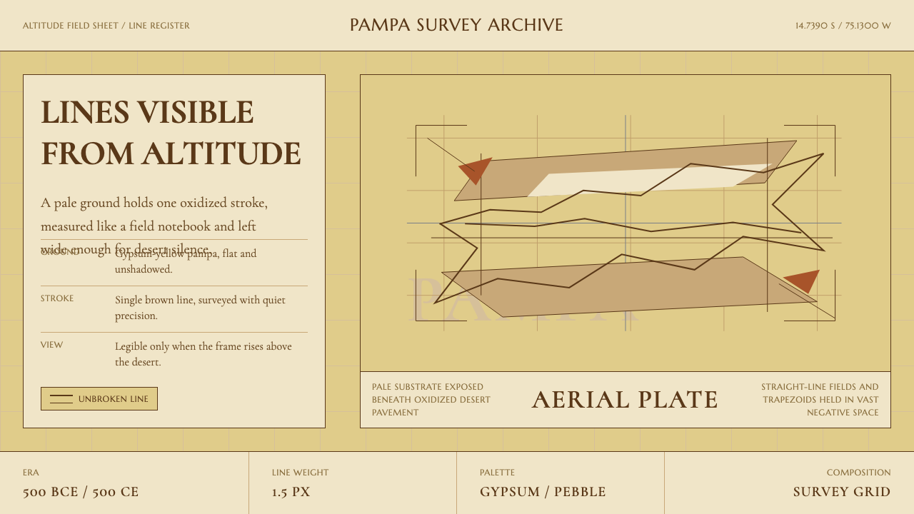
The Nazca Lines are the largest drawings ever made on earth — geoglyphs scratched into a Peruvian desert between 500 BCE and 500 CE that reveal their full meaning only from the sky.
Peruvian Nazca Lines (Geoglyph) in brief
The Peruvian Nazca Lines design style translates one of humanity's most mysterious ancient achievements into a contemporary visual language. Its signature palette draws from the desert itself: a warm gypsum-yellow ground, the color of the sun-bleached pampa, contrasted with oxidized-pebble brown for line work. Every element in the system is rendered as a single continuous stroke — recalling the aerial perspective from which the geoglyphs' true forms emerge.
Where most ancient-derived aesthetics pile on ornamentation, Nazca does the opposite. Its power comes from restraint: vast expanses of ground left untouched, a single precise line tracing a hummingbird or a perfect geometric corridor across kilometres of desert. In interface terms, this translates to generous negative space, survey-precise alignment, and a serif typographic tradition that recalls the measured, gridded thinking of the people who built the lines.
The visual system carries a quiet sense of scale and mystery. Layouts feel spacious and deliberate, as if drawn for an audience far overhead. It is a style suited to contexts where the designer wants to evoke deep time, scientific precision, and the awe of a subject too vast to be fully comprehended from any single vantage point.
Where does Peruvian Nazca Lines (Geoglyph) come from?
The Nazca Lines were created by the Nazca culture, a pre-Inca civilization that flourished along the southern coastal desert of Peru from roughly 500 BCE to 500 CE. The geoglyphs were made by a deceptively simple process: removing the uppermost layer of reddish-brown iron-oxide-coated pebbles to expose the pale yellowish-grey gypsum sand beneath. The lines hold their form because the Nazca desert receives almost no rain and has almost no wind at ground level — a microclimate of extraordinary stability that has preserved the marks for over a thousand years.
The corpus of geoglyphs is vast. Researchers have identified more than seventy animal and plant figures — a condor, a monkey, a spider, a hummingbird, a whale, a tree — alongside more than eight hundred straight lines, dozens of geometric trapezoids and triangles, and spiral figures that intersect, overlap, and extend for kilometres. The largest figures span hundreds of metres across. The lines are not random: many run to exact compass bearings, some align with sunrise or sunset at the solstices, and the straight corridors are wide enough to have served as processional paths.
European knowledge of the lines dates to 1927, when Peruvian archaeologist Toribio Mejía Xesspe noticed them on a hiking trip and reported them to the scholarly community. American geographer and archaeologist Paul Kosok conducted the first systematic aerial survey in 1939, famously observing that a line pointed to the sun's position at the winter solstice — leading him to describe the pampa as 'the largest astronomy book in the world.' It was Kosok who introduced German mathematician Maria Reiche to the site, setting in motion the most significant chapter in the geoglyphs' modern history.
Maria Reiche dedicated over fifty years of her life to the Nazca Lines, living on the pampa from the late 1940s until her death in 1998. She produced detailed maps, lobbied the Peruvian government to restrict vehicle access, and sustained the hypothesis that the lines formed a giant astronomical calendar. While later researchers including anthropologist Helaine Silverman and archaeoastronomer Anthony Aveni have proposed alternative interpretations — ritual pathways, water-finding, ceremonial landscape — Reiche's conservation legacy is not in dispute. The lines were designated a UNESCO World Heritage Site in 1994, and her work is central to why any of them survive. Her portrait now appears on the Peruvian ten-sol banknote.
What defines the Peruvian Nazca Lines (Geoglyph) look?
Ground Color
The palette is anchored by a warm, sun-bleached gypsum yellow — not pure white, not cream, but the particular tone of mineral-pale desert sand baked over centuries. This ground color functions as the primary neutral: it is the earth itself, the surface on which everything is drawn. It communicates age, aridity, and the uninterrupted continuity of deep time.
Line Work
All figurative and structural elements are rendered as single-stroke outlines in a deep oxidized-pebble brown — a warm near-black that reads as deliberate and earthen rather than stark or digital. The defining constraint is continuity: a figure traced without lifting the instrument, following the logic of the geoglyph-makers who could not step back to see what they were drawing.
Negative Space
The Nazca pampa's most powerful feature is not what was drawn but what was left untouched. Vast expanses of gypsum ground surround each figure, giving the lines their sense of isolation and scale. In the design system, negative space is not a passive background — it is an active structural decision. Elements must earn the space they occupy; anything that fills without purpose diminishes the effect.
Typography
Typographic choices lean toward survey-precise serif typefaces — letterforms that suggest the measured, gridded thinking of people who laid out kilometre-scale geometries with stakes and rope. The type is not decorative; it is instrumental. Headlines are set with deliberate weight against the pale ground, while body text is fine and spaced with the same disciplined restraint that governs the rest of the system.
Aerial Geometry
The geoglyphs include not only figurative animals but hundreds of straight lines, trapezoids, triangles, and spirals — pure geometric forms that served unknown ceremonial or astronomical purposes. The design system inherits this geometric vocabulary: structural layout elements, dividers, and decorative motifs draw from the repertoire of Nazca's abstract figures rather than from naturalistic or organic forms.
Scale and Isolation
On the pampa, a single hummingbird figure spans nearly a hundred metres — yet it is drawn with the same delicate single-stroke logic as a small pottery motif. The disconnect between the intimacy of the mark and the vastness of the scale is central to the style's effect. Layouts embrace this: a small, precise element placed within a field of open ground reads with a weight far beyond its physical size.
Restraint in Color
The palette is deliberately narrow: gypsum yellow ground, oxidized pebble brown for lines, and — used sparingly — a terracotta or ochre for moments of emphasis. There is no place for vivid color or polychrome decoration. Anything approaching the saturated or festive would collapse the system's desert solemnity. Accents, when used, should feel like mineral traces rather than applied pigment.
Who shaped Peruvian Nazca Lines (Geoglyph)?
German-born mathematician and archaeologist Maria Reiche is the single most important figure in the history of the Nazca Lines' modern study and preservation. She began working at the site in 1946, introduced by Paul Kosok, and remained until her death in 1998. For decades she lived alone on the pampa, mapping figures by hand, sleeping under the stars, and using her own funds to hire guards to protect the lines from foot traffic and vehicle damage. Her astronomical interpretation of the lines — that they served as a giant calendar pointing to stellar and solar events — remains influential even where contested. She was declared a honorary Peruvian citizen and her image appears on national currency.
American geographer and archaeologist Paul Kosok conducted the first systematic aerial photographic survey of the Nazca Lines in 1939. His observation that certain lines appeared to align with the winter solstice sunset prompted him to describe the pampa as the world's largest astronomical text — a characterization that shaped decades of subsequent inquiry. Kosok also introduced Maria Reiche to the site, making him indirectly responsible for its long-term conservation. His work was among the first to argue that the lines required aerial observation to be properly understood, establishing the now-canonical relationship between the geoglyphs and the viewpoint from altitude.
American archaeoastronomer Anthony Aveni conducted extensive fieldwork at Nazca from the 1980s onward, applying rigorous statistical methods to assess the astronomical alignment claims that had dominated discussion since Kosok and Reiche. His findings were measured: some lines did show statistically meaningful astronomical orientations, particularly toward the Pleiades and various horizon sunrise points, but the majority did not align with any obvious celestial event. Aveni proposed instead that many of the straight lines and trapezoids were processional pathways connected to water-finding rituals — a reinterpretation that shifted scholarly attention from astronomy toward hydrology and ceremony.
American anthropologist Helaine Silverman brought an anthropological and settlement-pattern perspective to the Nazca Lines, situating them within the broader social and ritual geography of the Nazca culture. Her research emphasized the relationship between the geoglyphs and the Cahuachi ceremonial center — a large adobe mound complex several kilometres from the main pampa — arguing that the lines radiated outward from this hub as pathways used in periodic pilgrimage and communal ritual. This interpretation moved the lines away from isolated astronomical curiosity and toward a living, socially embedded ceremonial landscape.
How do you use Peruvian Nazca Lines (Geoglyph) today?
The Nazca Lines style is most effective when space itself is treated as the primary design material. Before placing any element, the designer should ask whether the negative space around it has been given sufficient room to breathe — to feel like open pampa rather than leftover margin. This is the style's most transferable principle and its most commonly violated one. Filling layouts with content out of habit produces the opposite of the intended effect.
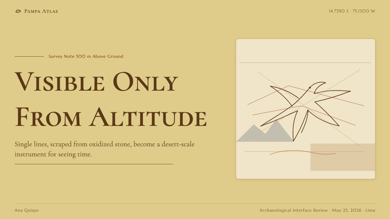
For presentation slides, the style works powerfully as a cover system and for high-stakes section dividers. A cover page benefits from a single isolated line-art figure — a geometric form or a simple animal silhouette — centred in a gypsum-yellow field, with the title set in precise serif type beneath it. The composition should feel as if the title were a label for an archaeological specimen. Content slides should commit to a single dominant idea per page, with only the data or words strictly necessary to support it. For data presentations, charts and diagrams take on the quality of cartographic surveys: plotted with care, oriented with a clear baseline, and labelled with the same measured gravity as a site map.
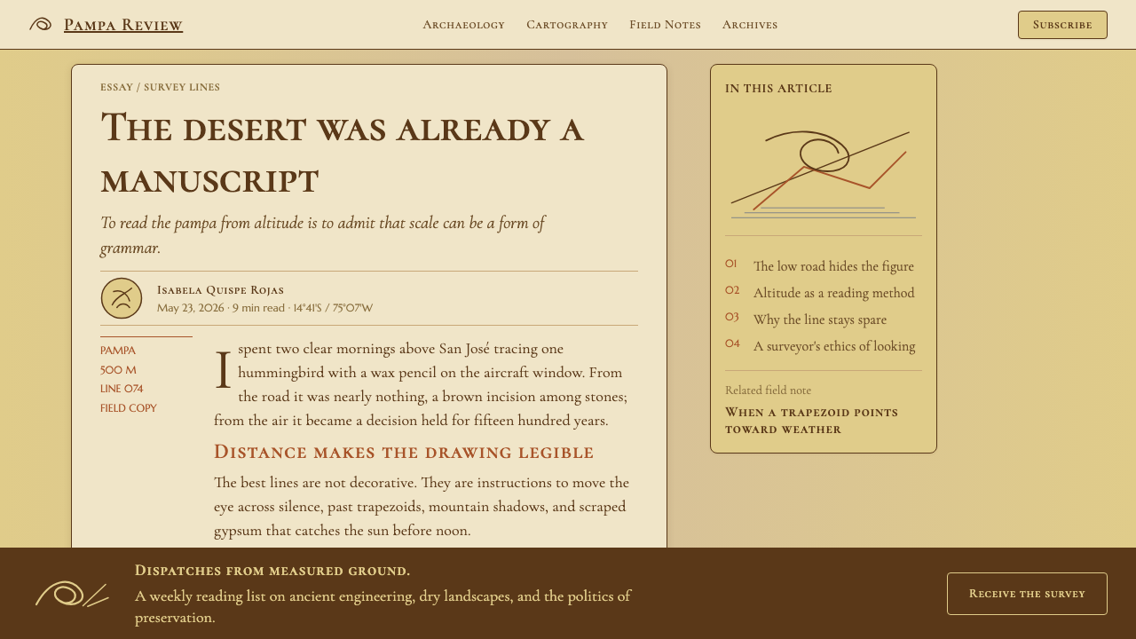
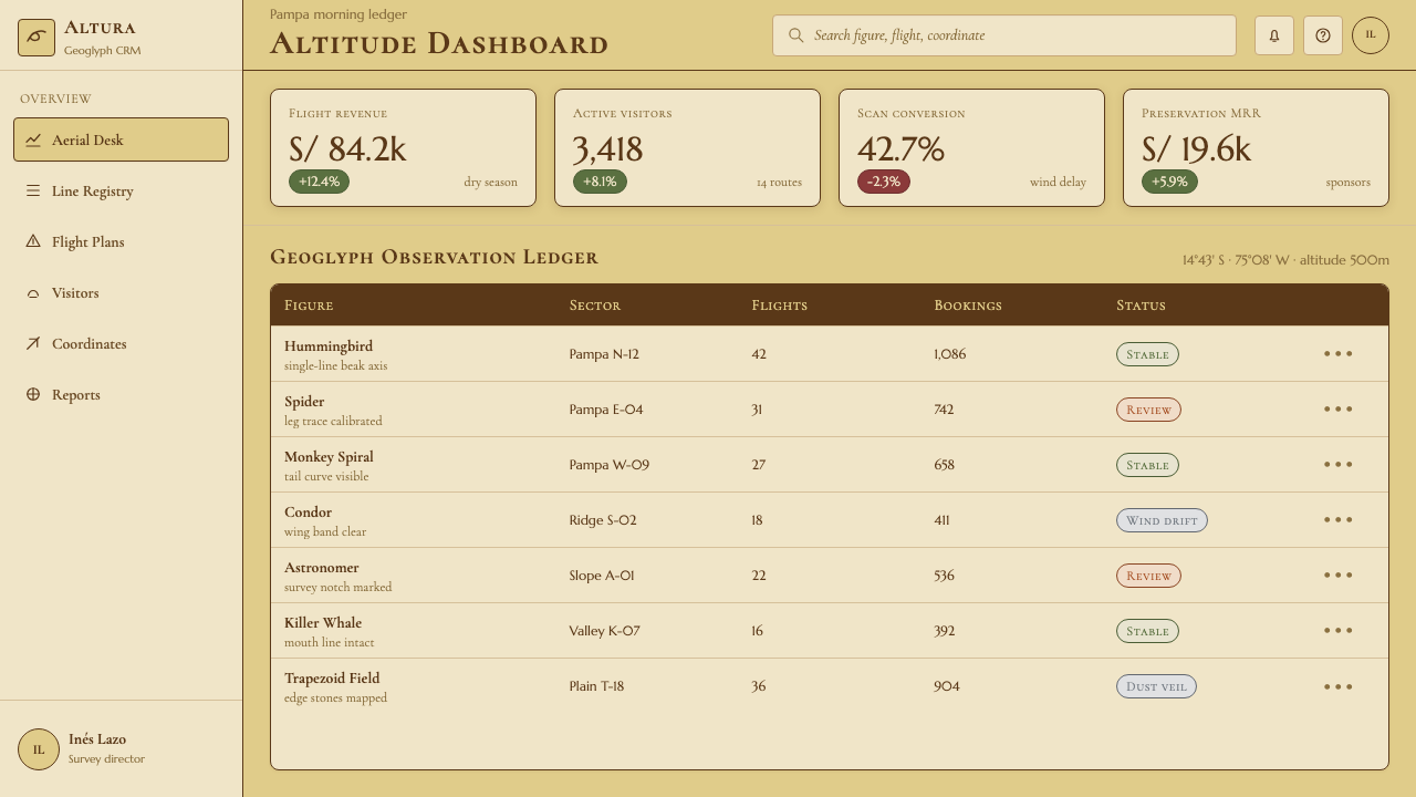
For web interfaces, the style suits contexts where authority and unhurried clarity are valued over immediacy and stimulation — a research platform, a heritage archive, a long-form editorial site, or a scientific instrument's interface. The approach: a near-gypsum background, dark-brown or near-black type at a deliberate reading size, and structural lines used sparingly to define regions rather than decorate them. Navigation should be typographic and minimal. Interactive elements should feel like choosing a path across a landscape, not pulling a lever in a machine. Dashboards built in this system reward patient reading rather than rapid scanning.
For editorial and marketing work, the style has natural affinity with long-form content, archaeology and heritage publishing, travel and geography brands, and any context evoking ancient civilizations or deep time. A feature article in this style uses a wide opening image — ideally an aerial or topographic quality — with ruled lines marking section breaks and generous inter-section spacing. Marketing pages work best when a single dramatic visual occupies most of the screen and text is used sparingly as annotation rather than persuasion. The style does not support high-frequency calls to action or urgency-based copywriting; it asks the audience to slow down and attend.
A common mistake when applying this style is to substitute earth tones broadly without maintaining the core structural logic: single-stroke linearity, vast negative space, and typographic restraint. A layout loaded with terracottas, ochres, and sandy browns — but without that signature open-ground discipline — becomes generic world-cultures pastiche. The second common mistake is over-illustrating: adding textures, aged-paper effects, or decorative borders borrowed from other ancient-world aesthetics. Nazca's visual power lies in its cleanness and precision, not its age. The lines were not rough; they were surveyed.
Peruvian Nazca Lines (Geoglyph) — FAQ
What makes Nazca Lines different from other ancient-world design styles?
Most ancient-world design styles — Egyptian, Mesoamerican, Greek — are characterized by dense ornamentation, polychrome decoration, and narrative figurative programs. The Nazca visual system inverts this entirely. Its defining feature is emptiness: the ground is the design. Where Egyptian style fills every surface, Nazca leaves most of the surface untouched. The result is a style that feels more like contemporary minimalism or land art than like archaeological pastiche — which is precisely what makes it unusual and powerful as a contemporary design reference.
Is this style suitable for products with a lot of content or data?
It requires careful handling in high-density contexts. The style's power comes from emptiness and restraint, so it works best when information is curated rather than comprehensive — when the designer has made deliberate choices about what to include and what to omit. For data-heavy dashboards or content-dense knowledge bases, the temptation is to fill the available space, which would erode the style's core effect. A better approach is to use the style for the container and hierarchy structure, while allowing content regions to follow their own functional logic within that frame.
How should this style handle imagery and photography?
Imagery works best when it carries an aerial, topographic, or cartographic quality — photographs taken from above, close-up geological or mineral details, or survey documentation imagery. Photography should be treated as a specimen rather than an atmosphere: precisely cropped, placed with intention, and given adequate surrounding space. Naturalistic lifestyle photography or lush full-bleed scene-setting images conflict with the system's desert restraint. If figurative illustration is used, it should follow the single-stroke, outline-only logic of the geoglyphs themselves rather than introducing filled forms or representational shading.
Can this style work in a dark-background layout?
A dark inversion is possible — reversing to a near-black ground with gypsum-tinted or pale ochre line work — but it shifts the emotional register significantly. The light-ground version reads as desert, aridity, and open sky; the dark inversion reads more as night sky or archaeological excavation under artificial light. The structural logic remains the same: vast empty ground, single-stroke line work, and no decorative filling. The dark version may suit contexts emphasizing mystery or the nocturnal, but loses some of the specific warmth and geological character of the canonical palette.
What kinds of brands or contexts fit this style, and which should avoid it?
The style fits institutions and projects that value deep time, measured precision, and quiet authority: research organizations, heritage and conservation bodies, scientific publications, travel and geography brands, and long-form editorial platforms with a serious intellectual tone. It also works for any product deliberately positioning itself against the frenetic pace of contemporary digital culture — slow design as a statement. It does not fit contexts requiring warmth, urgency, playfulness, or cultural celebration: consumer apps oriented around speed and social engagement, food and hospitality brands, children's products, or any design where the user needs immediate emotional reassurance rather than contemplative distance.
Related design styles
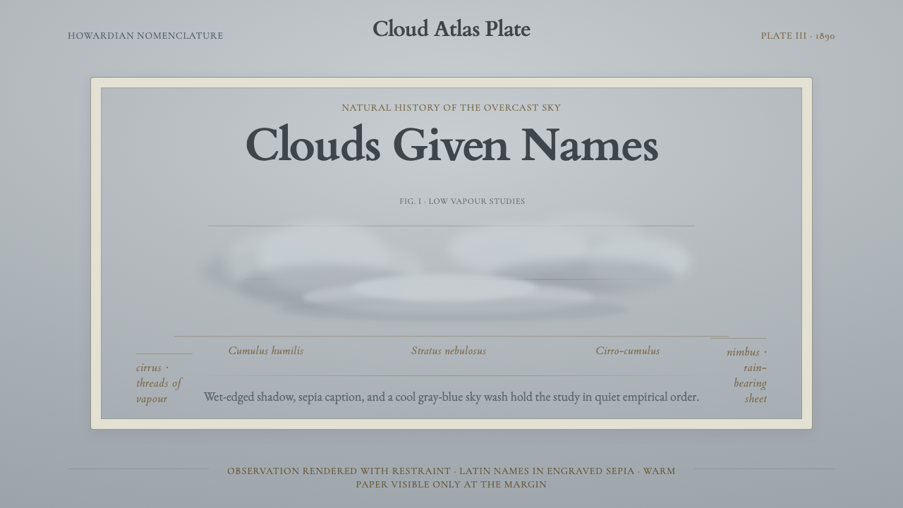 Cloud Atlas PlateObservation becomes atmosphere. Gray-blue wash, soft clouds, and sepia Latin…
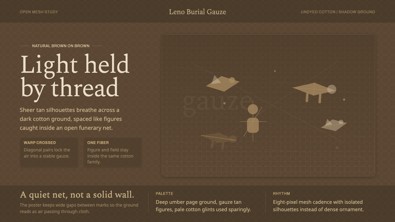 Chancay Gauze TextileQuiet woven dignity. Tan silhouettes float through a dark open cotton mesh.
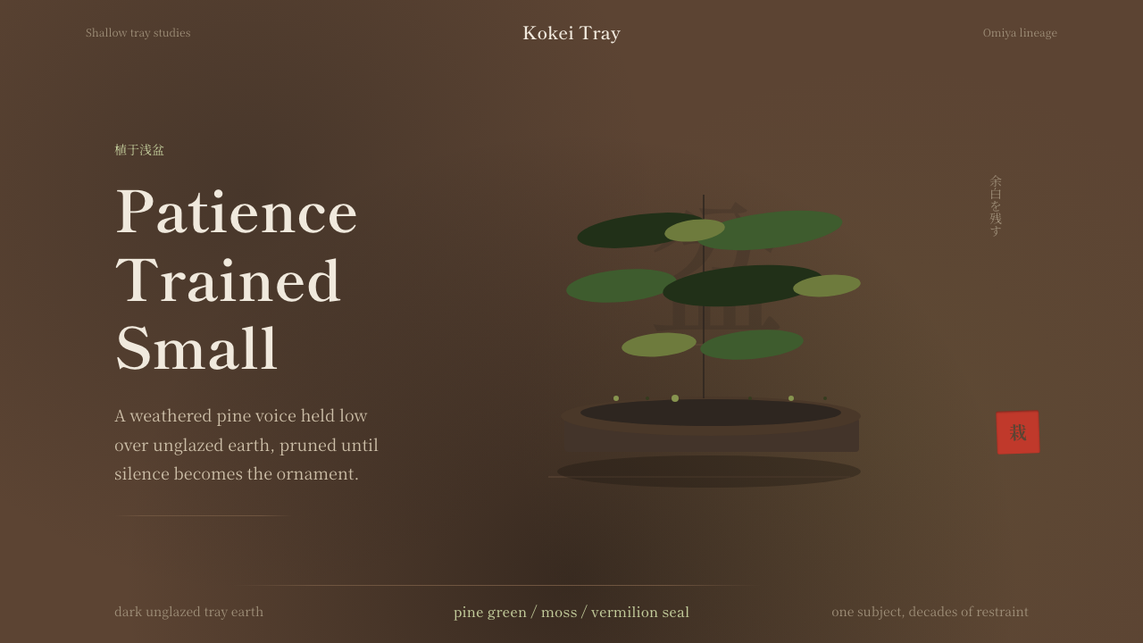 Bonsai CultivationQuiet asymmetry. Pine green rests on dark tray earth, sealed by one vermilion…
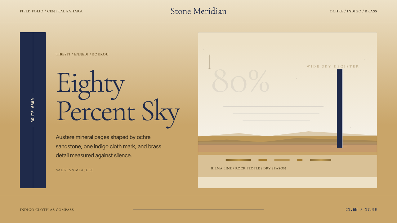 Chadian Toubou Saharan RouteRadical emptiness holds. Sandstone ochre, indigo serif, and one vertical mark…
 Golgi Neuron Silver StainA century-darkened specimen. Near-black dendrites branch across an aged amber…
 Hindu Widow White SariRestraint carries the weight. Ash-toned khadi, quiet serif type, and vertical…