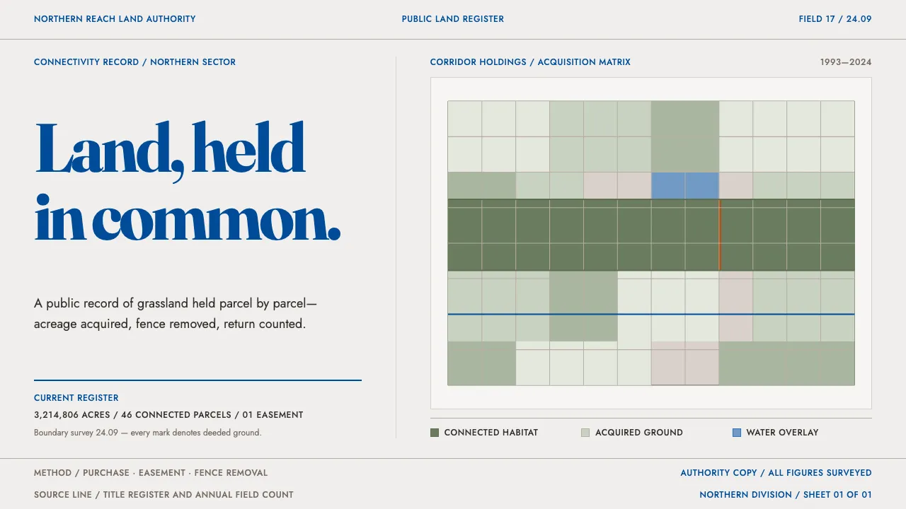
About Rewilding Corridor Authority
A land authority buys prairie parcel by parcel and publishes what it owns: corridor maps, bison and wolf counts, an acquisition ledger with acres, seller type and funding source. The page is the paper stock it prints on, off-white and uncoated. Sage fills the habitat, big-sky blue carries every line of text and every map baseline, rust flags the easements.
Nothing here pleads. The map is the layout, the table is the argument, and the only softness on the page is the outline of a range polygon. Conservation filed as a property register.
- Origin
- Northern Great Plains, Montana; the Yellowstone-to-Yukon corridor; European rewilding areas
- Era
- 1993 onward — Y2Y 1993, American Prairie 2001, Rewilding Europe 2011; current visual ~2021–2024
- Key figures
- Curtis Freese · Sean Gerrity · Harvey Locke · Frans Schepers
- Movements
- Landscape-scale conservation · Connectivity ecology · Land trusts and conservation easements
Rewilding Corridor Authority design spec
Colors
Typography
The other 11 sections — buttons, cards, spacing, motion, techniques and more — open once you unlock. Download the DESIGN.md or send it to your AI in one click. Unlock once, yours forever.
Sign up nowStyles similar to Rewilding Corridor Authority
Also inspired by science & nature, with a close feel.
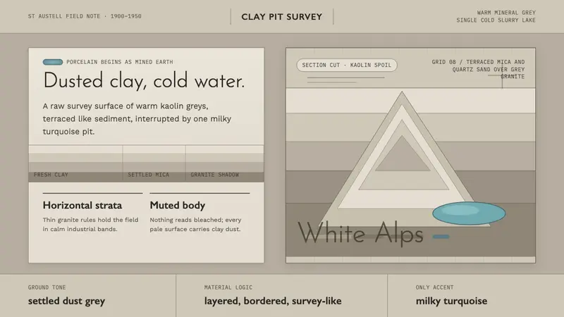 Kaolin Porcelain Clay PitIndustrial calm in dust grey. Horizontal clay strata break for one milky turquoise lake.
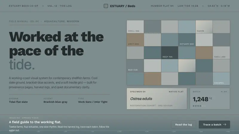 Oyster Farm (Estuary)Worked at the pace of the tide. Slate ground, brackish blue accent, grotesque sans on trestle grid.
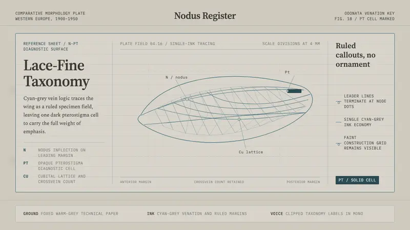 Dragonfly Wing VenationPrecision, nearly weightless. Cyan-grey veins rule a foxed paper taxonomy plate.
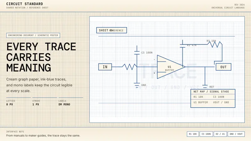 Electrical Schematic WiringAustere and exact. Cream graph paper, ink-blue traces, and mono labels make every label count.