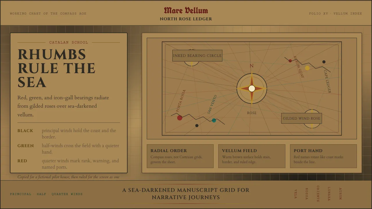
About Portolan Rhumb Chart
The portolan chart is the working drawing of the age of the compass: a navigational map inked by hand onto a whole sheepskin, its surface webbed with rhumb lines that spoke out from compass roses in red, black, and green. Coastlines were drawn close and scalloped, ports lettered perpendicular to the shore, and the great cities marked with gilded vignettes.
This system rebuilds that workshop hand for the screen. Type is set in Roman capitals and period serifs; color is the heraldic ink palette of the Catalan school — sea-darkened tan vellum, blood-red for the quarter winds, iron-gall brown-black for the principal coast, and muted gold leaf for the roses. Geometry radiates rather than gridding.
- Origin
- Mediterranean — Catalan and Genoese chart workshops
- Era
- 15th century (tradition from the Carta Pisana, c.1290)
- Key figures
- Abraham Cresques · Jehuda Cresques · Gabriel de Vallseca · Petrus Roselli
- Movements
- Medieval nautical cartography · Portolan-chart tradition
Portolan Rhumb Chart design spec
Colors
Typography
The other 11 sections — buttons, cards, spacing, motion, techniques and more — open once you unlock. Download the DESIGN.md or send it to your AI in one click. Unlock once, yours forever.
Sign up nowStyles similar to Portolan Rhumb Chart
Also inspired by science & nature, with a close feel.
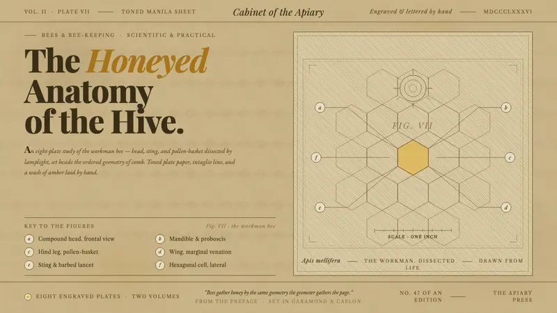 Honeybee Anatomy PlateAn 1886 beekeeping manual, reopened. Amber wash over engraved anatomy, lettered keys beside comb.
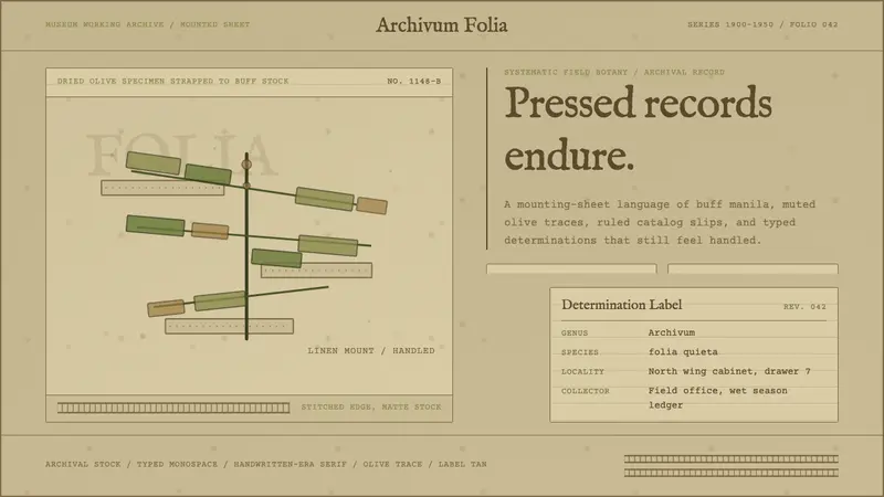 Herbarium SheetArchive, not interface. Manila stock, olive specimen marks, typewritten ruled labels.
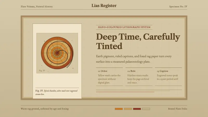 Ammonite Fossil PlateDeep time feels hand-tinted. Ochre spiral, foxed paper, and engraved captions carry the plate.
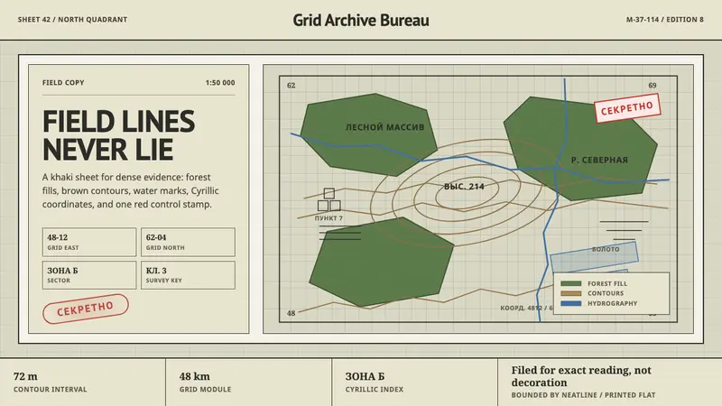 Soviet Classified MapAustere field intelligence. Khaki grid, forest green fills, brown contours, red stamp.