About Soviet Classified Map
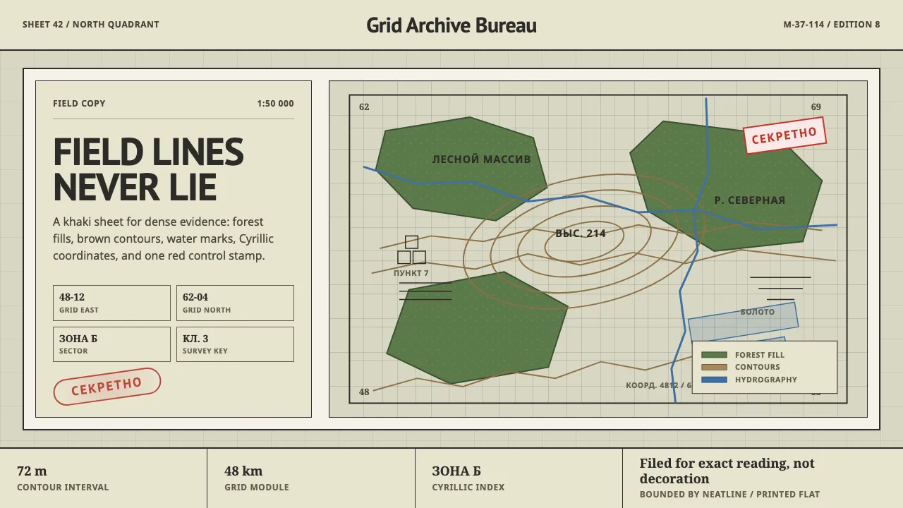
The Soviet General Staff (Genshtab) mapped the entire planet between 1950 and 1990 to a single rigorous standard: khaki-gray sheets, forest-green forest polygons, brown contour lines and a kilometer grid annotated in Cyrillic. Every sheet carried the red СЕКРЕТНО stamp.
This system borrows that disciplined, slightly austere cartography. It is built for density and legibility — flat tinted fills, fine line-work, condensed labels and a precise grid that never decorates, only locates.
- Origin
- Moscow, USSR — Soviet Military Topographic Directorate
- Era
- 1950–1990 (Cold War Genshtab mapping)
- Key figures
- Военно-топографическое управление ГШ · ГУГК
- Movements
- military cartography · Cold War intelligence design · standardized survey
Soviet Classified Map design spec
Colors
Background
Surface
Primary
Secondary
Accent
Text
Typography
PT SansHeadings
Noto SansBody
Noto SerifMono
Unlock for 1 credit
The other 11 sections — buttons, cards, spacing, motion, techniques and more — open once you unlock. Download the DESIGN.md or send it to your AI in one click. Unlock once, yours forever.
Sign up nowHave an account? Sign in
Styles similar to Soviet Classified Map
Also inspired by science & nature, with a close feel.
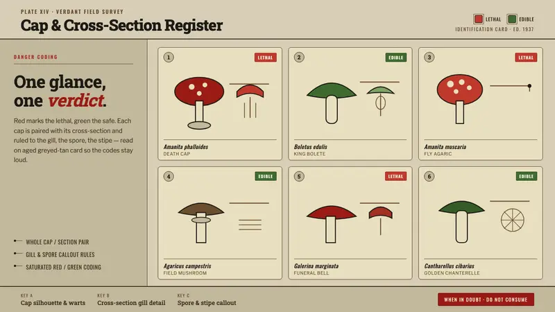 Poison Mushroom Color ChartOne glance, one verdict. Danger-red vs safe-green coding on aged greyed-tan field-guide card.
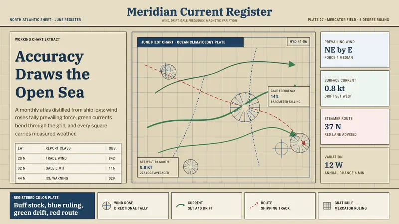 Ocean Pilot ChartAuthority by accumulation. Blue graticules and green currents crowd warm chart stock.
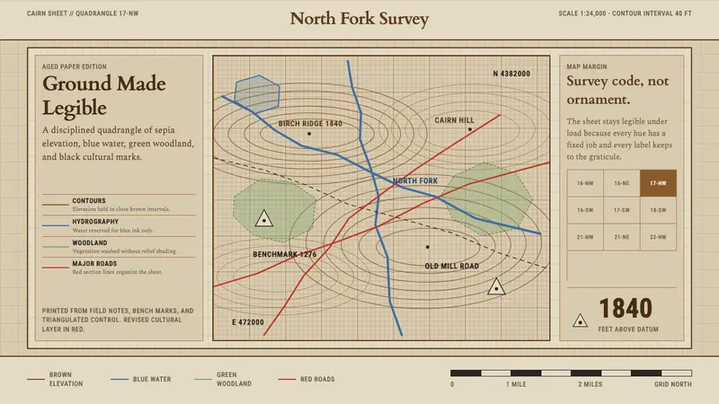 Topographic Survey MapMeasurement becomes beauty. Sepia contours and blue hydrography sit on aged map paper.
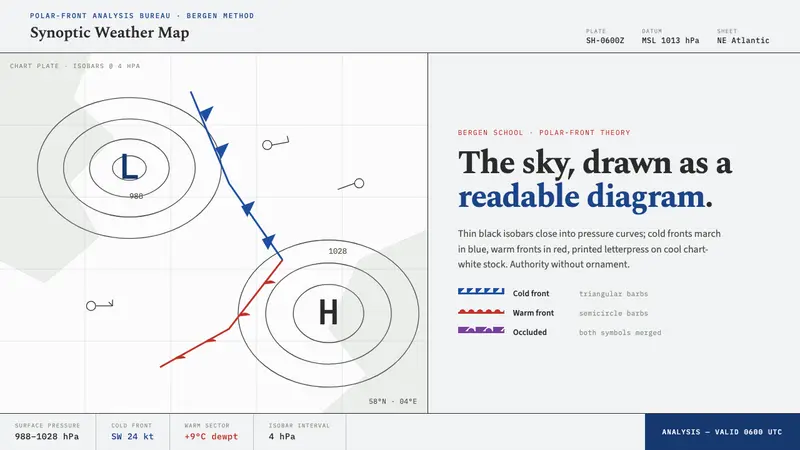 Synoptic Weather MapThe sky as a readable diagram. Black isobars, blue cold fronts, red warm fronts on chart-white.