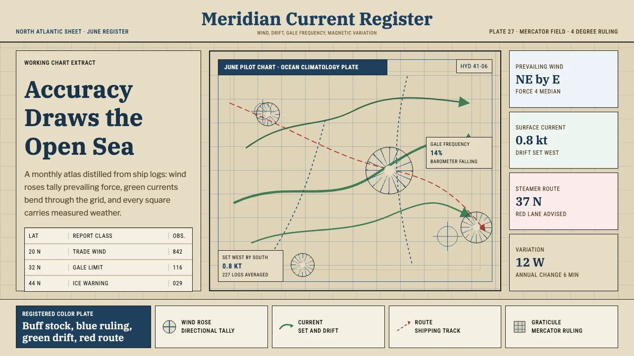
About Ocean Pilot Chart
The Ocean Pilot Chart is the language of the open sea rendered as data. For a century the US Navy Hydrographic Office distilled millions of ship-log entries into single monthly sheets: blue wind roses bristling with feathered arms, green current arrows curving across a Mercator ocean, isogonic lines and statistical boxes packed into every degree of latitude.
This system carries that discipline into the screen. It is built on ocean blue and warm chart buff, on layered tints and fine line-work, on the conviction that beauty in a chart comes from accuracy. Every surface reads like a working navigational document — measured, dense, and quietly authoritative.
- Origin
- Washington, D.C., United States
- Era
- 1900–1950 (mature pilot-chart series; Maury origin 1840s)
- Key figures
- Matthew Fontaine Maury · US Navy Hydrographic Office
- Movements
- maritime climatology · statistical cartography · hydrography
Ocean Pilot Chart design spec
Colors
Typography
The other 11 sections — buttons, cards, spacing, motion, techniques and more — open once you unlock. Download the DESIGN.md or send it to your AI in one click. Unlock once, yours forever.
Sign up nowStyles similar to Ocean Pilot Chart
Also inspired by science & nature, with a close feel.
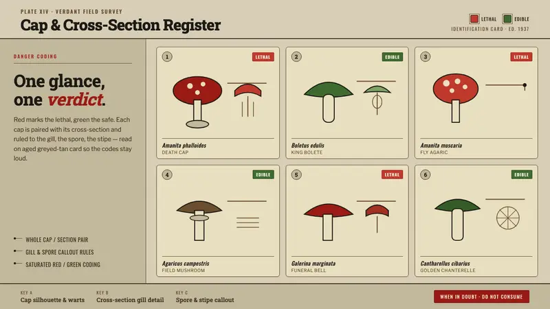 Poison Mushroom Color ChartOne glance, one verdict. Danger-red vs safe-green coding on aged greyed-tan field-guide card.
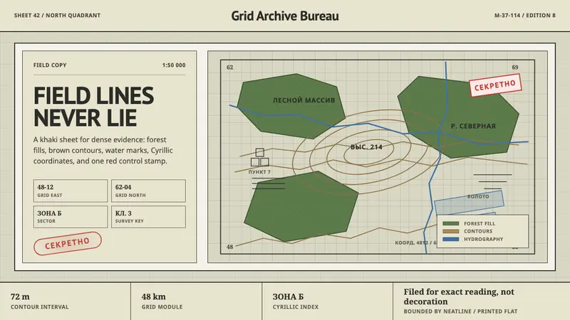 Soviet Classified MapAustere field intelligence. Khaki grid, forest green fills, brown contours, red stamp.
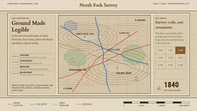 Topographic Survey MapMeasurement becomes beauty. Sepia contours and blue hydrography sit on aged map paper.
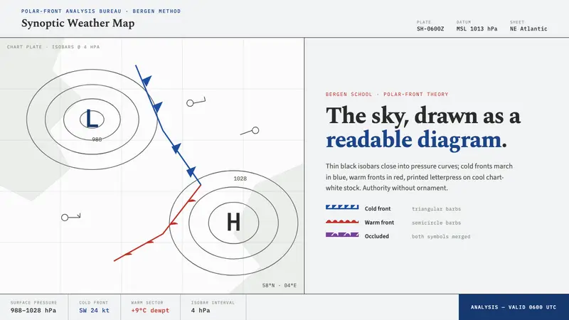 Synoptic Weather MapThe sky as a readable diagram. Black isobars, blue cold fronts, red warm fronts on chart-white.