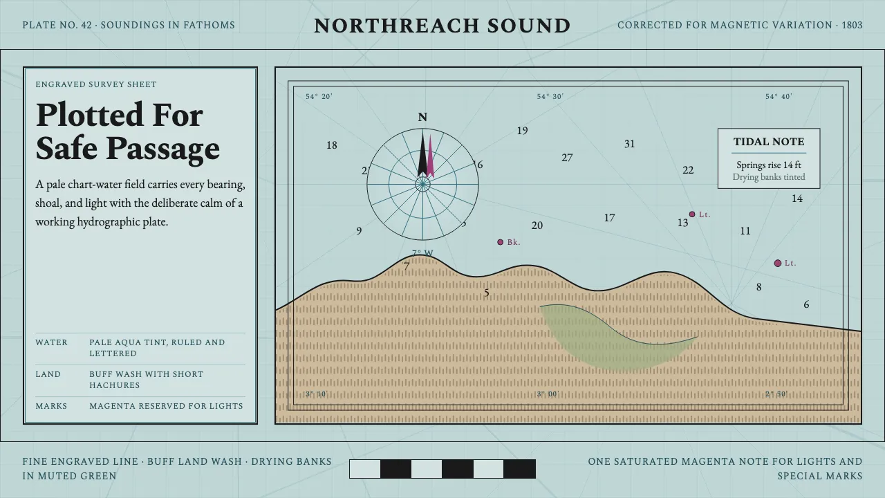
About Admiralty Sea Chart
British Admiralty charts, engraved from the Hydrographic Office founded in 1795, set the standard of 19th-century maritime cartography. Black engraved coastlines, depth soundings and fine lettering sit over a pale aqua-tinted water field, with buff land, muted-green drying areas, and ornate compass roses ruled with the rhumb lines of magnetic variation.
This system rebuilds the chart's reading ground: not bare paper but the documented pale chart-water tint, worked in fine engraved line and hatching. Everything is drawn — coastlines hachured, soundings set as small serif numerals, hazards dotted, and lights and special marks flagged in a single note of magenta.
- Origin
- Britain, Western Europe
- Era
- c. 1800 onward; UK Hydrographic Office founded 1795
- Key figures
- Alexander Dalrymple
- Movements
- Hydrographic surveying · Engraved cartography · Nautical chart standardization
Admiralty Sea Chart design spec
Colors
Typography
The other 11 sections — buttons, cards, spacing, motion, techniques and more — open once you unlock. Download the DESIGN.md or send it to your AI in one click. Unlock once, yours forever.
Sign up nowStyles similar to Admiralty Sea Chart
Also inspired by architecture & places, with a close feel.
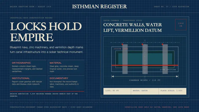 Panama Canal Deco 1914Blueprint authority. Navy grids, zinc rulework, and vermillion datum lines make it severe.
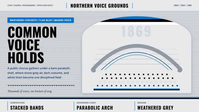 Estonian Song Festival (Laulupidu)Civic monumentality sings. Blue-black-white bands meet a concrete arch.
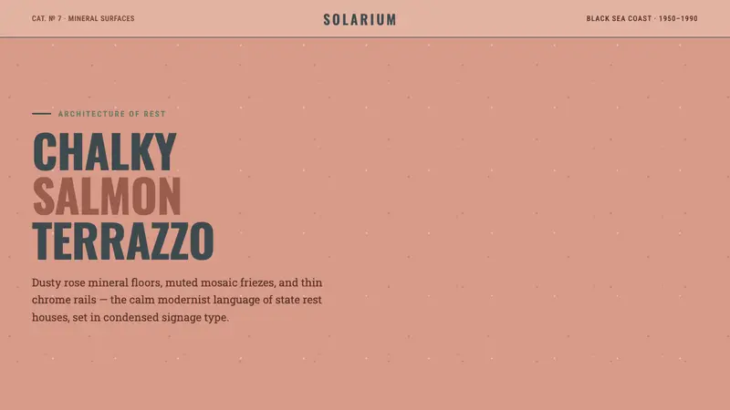 Soviet Sanatorium PinkState calm in stone. Salmon terrazzo, condensed signage, and chrome rails form the grid.
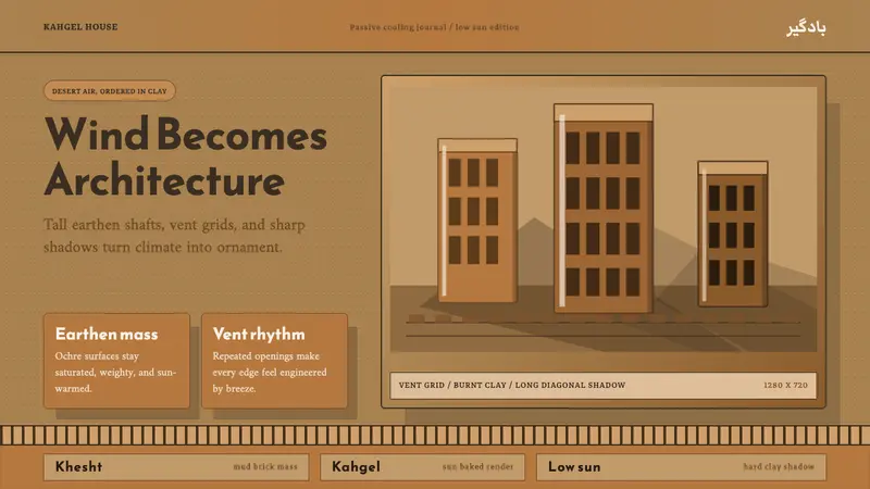 Persian WindcatcherClimate becomes geometry. Adobe ochre, Reem Kufi, vent grids, and hard shadows.