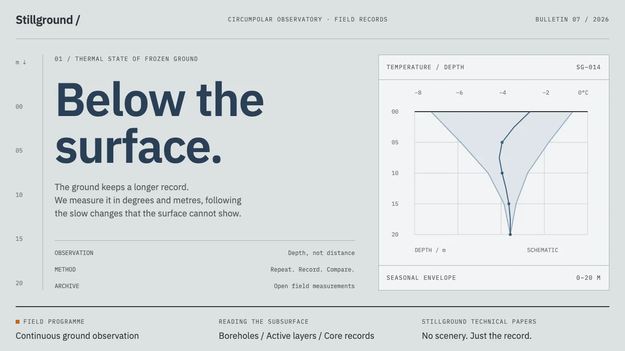
About Permafrost Monitoring Network
The Global Terrestrial Network for Permafrost keeps more than a thousand boreholes and two hundred-odd active-layer plots reporting from the Arctic. Its visual world is a retrogressive thaw slump on Herschel Island: massive ground ice near-white against ice-rich frozen silt, ice wedges in section, everything under flat overcast.
The output, though, is not landscape. It is temperature-depth profiles, logger records and thermokarst-lake change detection — charts, tables and core trays. This system builds an interface out of that: unsaturated greys, sub-zero slate, one warm orange for field kit, and depth running downward as the organising figure.
- Origin
- Circumarctic — Herschel Island and the Yukon coast, northern Siberia, Alaska's North Slope, Svalbard; coordination from Akureyri and Potsdam
- Era
- International Polar Year 2007–2009 to present; CALM sites running since the early 1990s
- Key figures
- Vladimir Romanovsky · Jerry Brown · Hugues Lantuit · Guido Grosse
- Movements
- Cryosphere monitoring networks · Borehole thermometry · Satellite change detection · Open environmental data archiving
Permafrost Monitoring Network design spec
Colors
Typography
The other 11 sections — buttons, cards, spacing, motion, techniques and more — open once you unlock. Download the DESIGN.md or send it to your AI in one click. Unlock once, yours forever.
Sign up nowStyles similar to Permafrost Monitoring Network
Also inspired by science & nature, with a close feel.
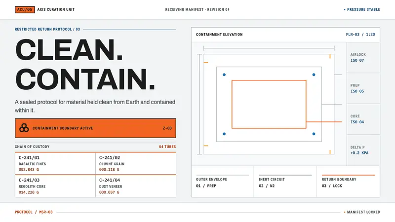 Mars Sample Curation LabPrecision holds the contradiction. Cleanroom grids meet blaze-orange containment plates.
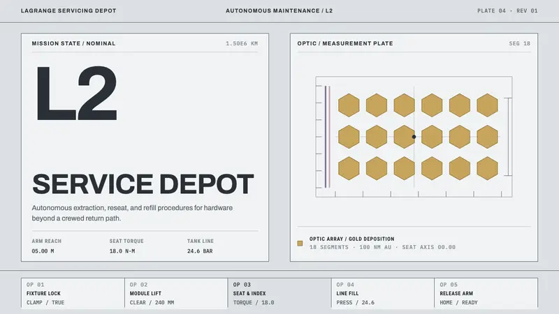 Lagrange Servicing DepotEngineering without theatre. Cleanroom grey, strict rules, and gold reserved for the optic.
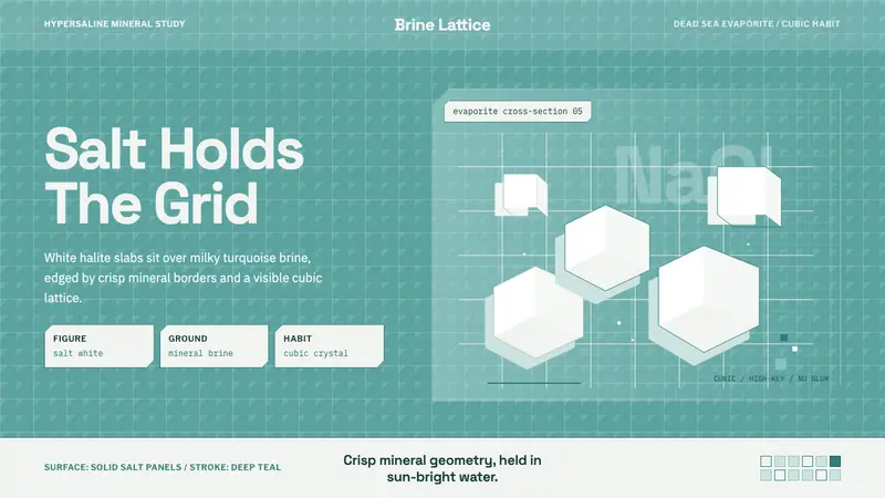 Salt Crystal EvaporiteCrystalline and cold. Salt-white cubes float over turquoise brine in a hard lattice.
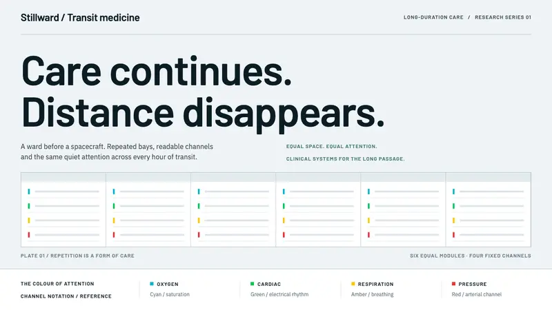 Cryosleep Transit WardCare without spectacle. Clinical white, equal bay grids and the fixed colours of patient monitors.