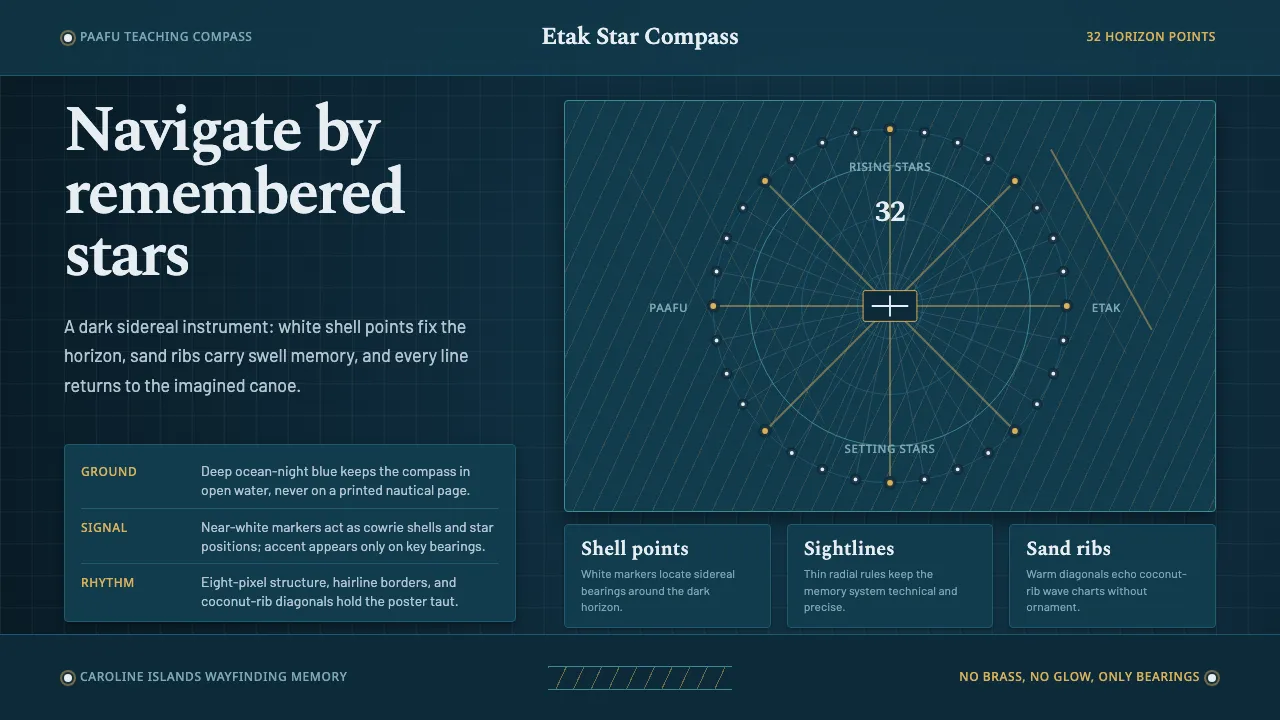
About Micronesian Etak Star Compass
The etak star compass, or paafu, is the navigational memory of the Caroline Islands — a mental instrument that divides the horizon into 32 points marked by the rising and setting positions of key stars. Carolinian palu (master navigators) held this system without instruments or charts, steering by starlines, swell patterns, and the imagined motion of a reference island sliding past the canoe.
Master navigator Mau Piailug made the system teachable by laying white cowrie shells in a ring on sand — a physical paafu — alongside coconut-rib lattices strung with shell markers to model ocean swells. This design system channels that teaching compass: a deep ocean-and-night ground, precise white star points, thin sightlines, and warm sand ribs standing in for the woven wave chart.
- Origin
- Caroline Islands, Micronesia, central Pacific
- Era
- pre-1900 sidereal wayfinding tradition (living practice, revived mid-20th century through navigators such as Mau Piailug)
- Key figures
- Mau Piailug · Carolinian palu (master navigators) · pwo initiates
- Movements
- Micronesian etak navigation · sidereal star-compass wayfinding · coconut-rib wave charts
Micronesian Etak Star Compass design spec
Colors
Typography
The other 11 sections — buttons, cards, spacing, motion, techniques and more — open once you unlock. Download the DESIGN.md or send it to your AI in one click. Unlock once, yours forever.
Sign up nowStyles similar to Micronesian Etak Star Compass
Also inspired by crafts & folk art, with a close feel.
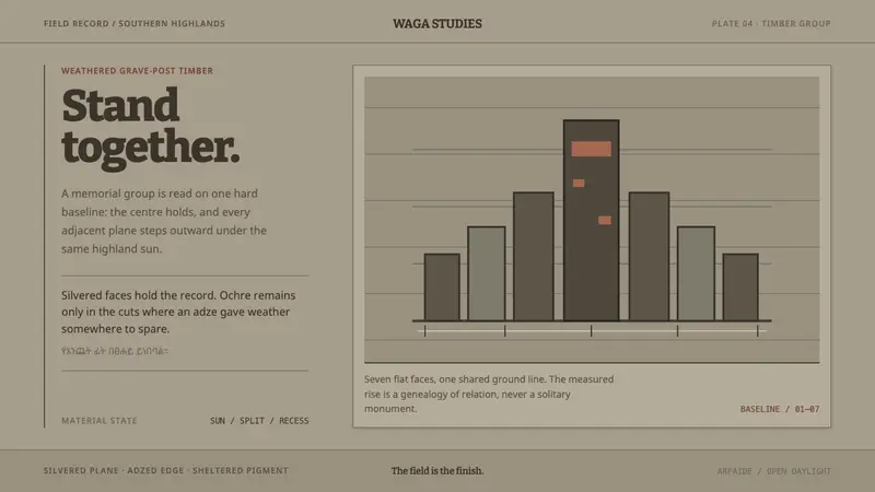 Konso WagaWeather makes the monument. Silver-grey timber, hard planes, and ochre held in adze recesses.
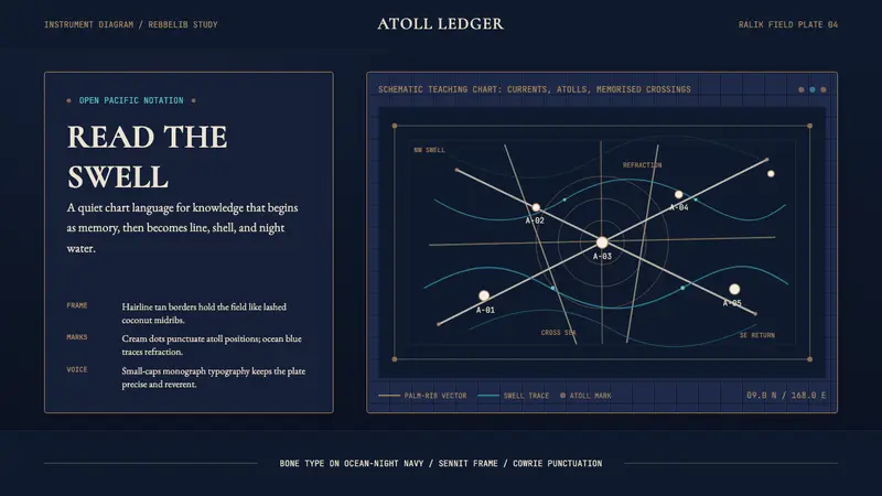 Marshallese Stick ChartQuiet ocean science. Bone Cormorant type and sennit lines chart swells on ink navy.
 Orenburg Goat-Down Gossamer ShawlLuxury in thinness. Pale Cormorant type and down-lace lines breathe on Ural slate.
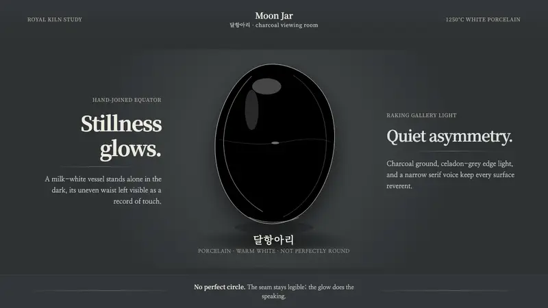 Joseon Moon JarQuiet imperfection glows. Milk-white porcelain floats on charcoal with a visible seam.