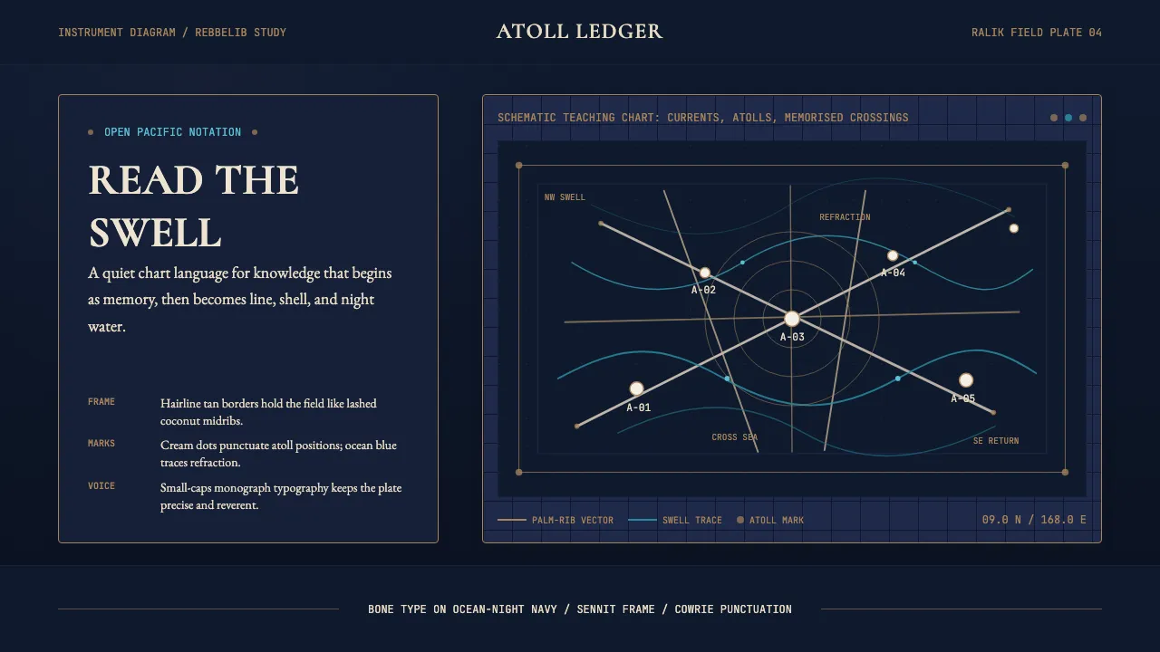
About Marshallese Stick Chart
A design system drawn from the Marshall Islands' stick-chart navigation tradition — split coconut-leaf midribs lashed with sennit cord, cowrie shells marking atolls across two million square kilometres of open Pacific. The aesthetic is scientific, schematic, and quietly beautiful: bone-pale elements on deep ocean-night navy, with sennit-tan accents and ocean-swell blue punctuation.
The interface reads like an instrument diagram in a Royal Geographical Society monograph — restrained, precise, and reverent of the knowledge it encodes.
- Origin
- Marshall Islands (Majuro, Ralik Chain, Ratak Chain), central Pacific
- Era
- oral tradition centuries old; European documentation 1860s; revival 1990s–present
- Key figures
- Korent Joel · Joseph Genz · William Davenport · David Lewis
- Movements
- Pacific wayfinding tradition · Marshallese ocean-knowledge revival · Polynesian voyaging revival
Marshallese Stick Chart design spec
Colors
Typography
The other 11 sections — buttons, cards, spacing, motion, techniques and more — open once you unlock. Download the DESIGN.md or send it to your AI in one click. Unlock once, yours forever.
Sign up nowStyles similar to Marshallese Stick Chart
Also inspired by crafts & folk art, with a close feel.
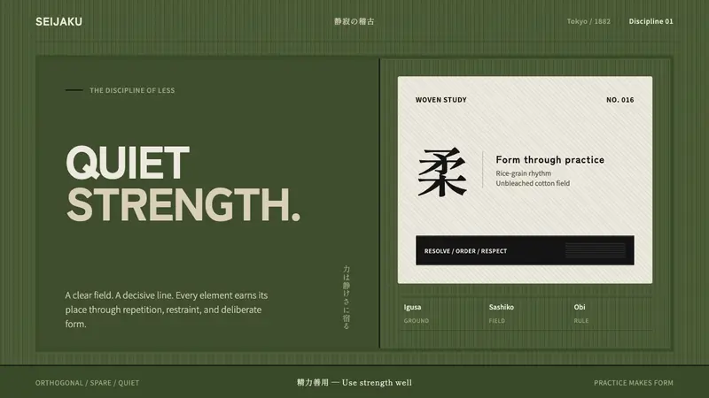 Judo Gi KodokanDiscipline without noise. Off-white sashiko, black belt lines, and an igusa-green grid.
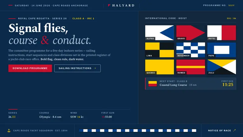 Sailing RegattaSignal-flag discipline on dark water. Rectilinear red-blue-yellow blocks on deep navy, in serif.
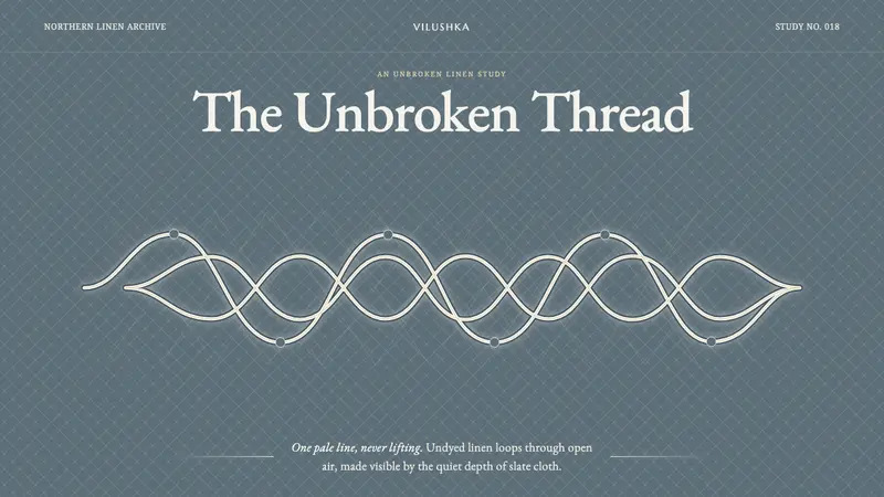 Vologda Bobbin LaceOne thread never lifts. Warm white linen loops glow across a quiet slate-blue cloth.
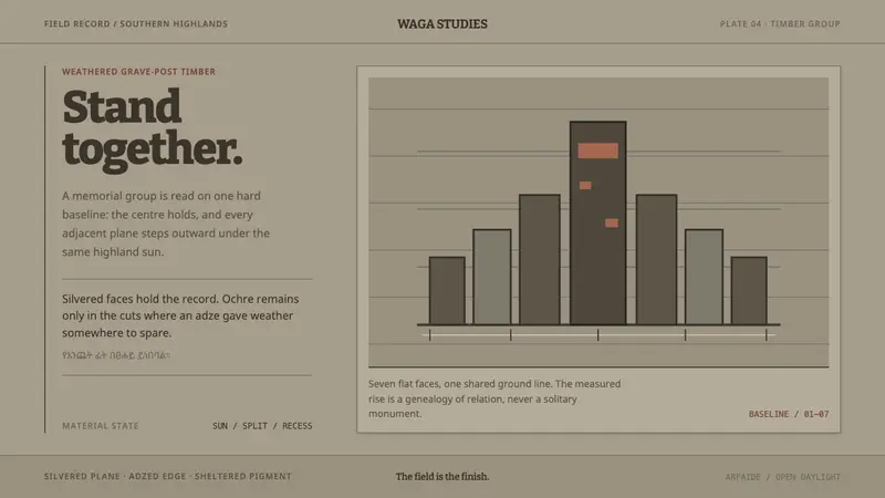 Konso WagaWeather makes the monument. Silver-grey timber, hard planes, and ochre held in adze recesses.