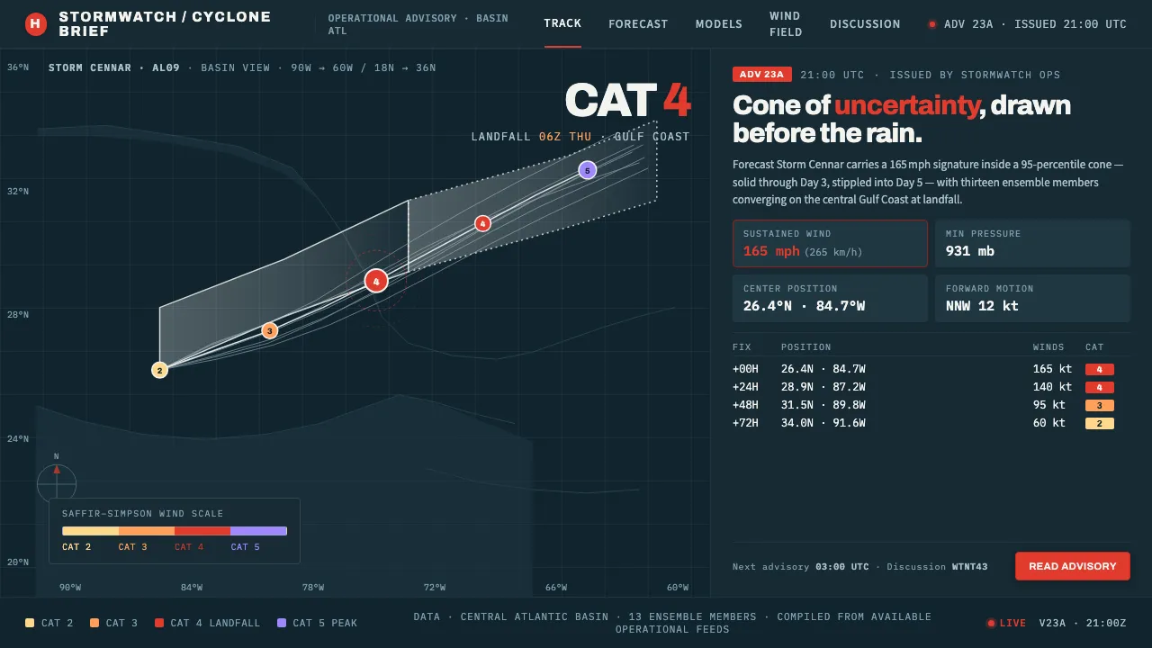
About Hurricane Track Chart
Hurricane Track Chart is the visual language of the National Hurricane Center's operational advisories: a dark ocean basin overprinted with the white "cone of uncertainty," thin spaghetti-model tracks, and category-coded swirl points keyed to the Saffir-Simpson scale.
Every element earns its place. The cone reads solid for days 1–3 and stippled for days 4–5; a high-category red-orange signals landfall against the navy water. It is calm, exact, and entirely operational.
- Origin
- North America (Gulf of Mexico & Atlantic basin)
- Era
- 1990–2010 (operational NHC advisory graphics era)
- Key figures
- NOAA / National Hurricane Center forecasters · Herbert Saffir · Robert Simpson
- Movements
- Operational tropical-cyclone forecasting graphics · Ensemble spaghetti-model visualization · Saffir-Simpson Wind Scale coding
Hurricane Track Chart design spec
Colors
Background
Surface
Primary
Secondary
Accent
Text
Typography
ArchivoHeadings
Source Sans 3Body
IBM Plex MonoMono
Unlock for 1 credit
The other 11 sections — buttons, cards, spacing, motion, techniques and more — open once you unlock. Download the DESIGN.md or send it to your AI in one click. Unlock once, yours forever.
Sign up nowHave an account? Sign in
Styles similar to Hurricane Track Chart
Also inspired by science & nature, with a close feel.
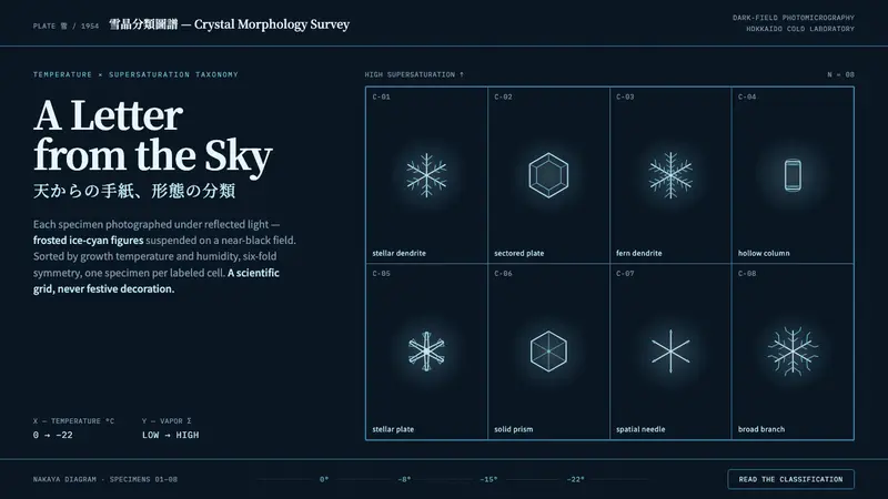 Snow Crystal ClassificationSnow as taxonomy, not decoration. Frosted ice-cyan crystals on a near-black dark-field grid.
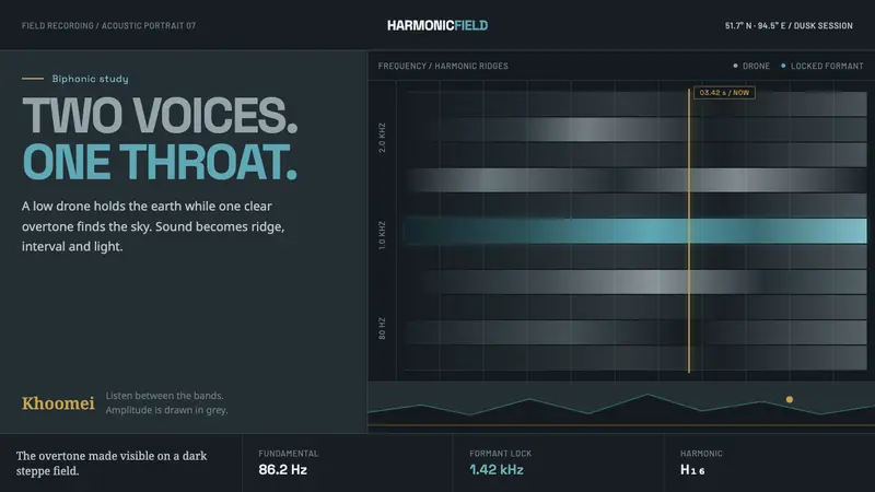 Tuvan Khoomei Throat-Song VizThe overtone becomes terrain. Grey harmonic ridges glow cyan over a slate-dark field.
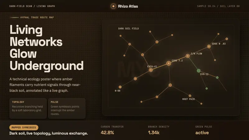 Mycelium NetworkUnderground intelligence glows. Amber hyphae branch over near-black soil with mono node tags.
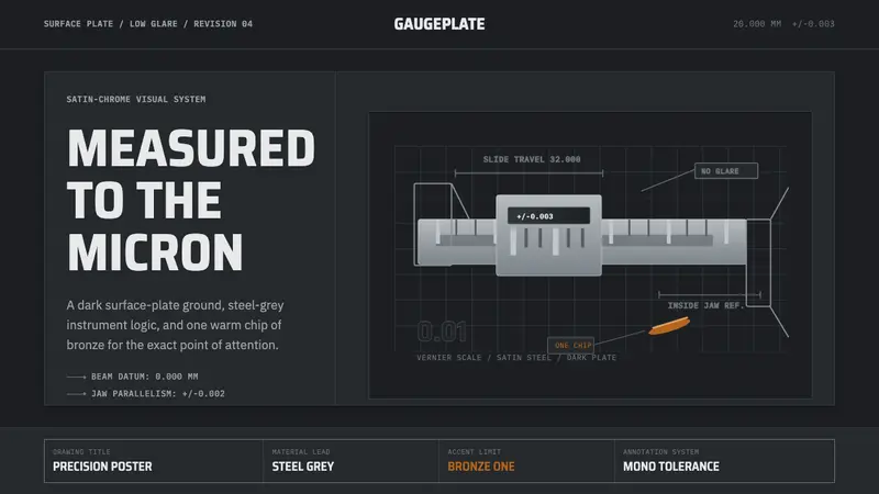 Caliper MachiningPrecision refuses drama. Steel-gray grid, mono tolerances, one bronze swarf accent.