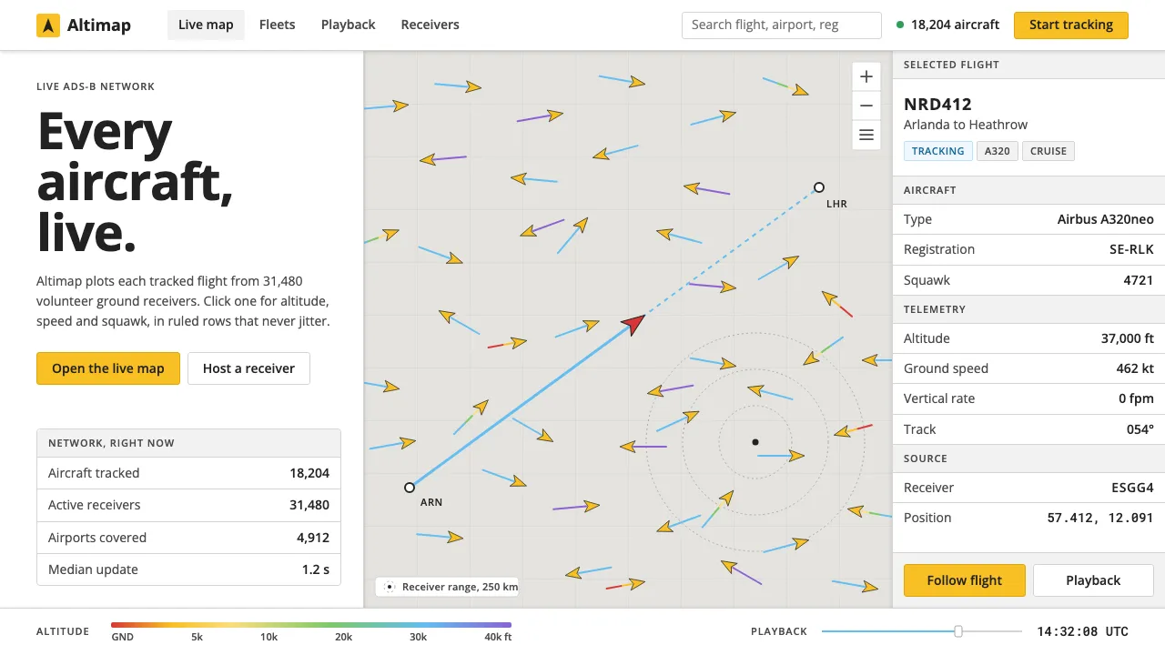
About Flightradar24
Flightradar24 began in 2006 when two Swedish aviation enthusiasts in Stockholm fed ADS-B receivers into a web map. It grew into a volunteer network of tens of thousands of ground stations, and today it plots almost every tracked aircraft on Earth in real time.
The interface rests on one decision: a quiet warm-grey roadmap base, yellow aircraft glyphs scattered across it, and dense white panels that open when you click one. The chrome is light, the type is plain Open Sans, and yellow is kept for the aircraft and the primary button so nothing else competes with the traffic.
- Origin
- Stockholm, Sweden
- Era
- 2006 founded; live map on Google Maps JS API v3, current visual ~2015–2024
- Key figures
- Mikael Robertsson · Olov Lindberg
- Movements
- crowdsourced sensor networks · open aviation data · slippy-map web cartography
Flightradar24 design spec
Colors
Typography
The other 11 sections — buttons, cards, spacing, motion, techniques and more — open once you unlock. Download the DESIGN.md or send it to your AI in one click. Unlock once, yours forever.
Sign up nowStyles similar to Flightradar24
Also inspired by brands & products, with a close feel.
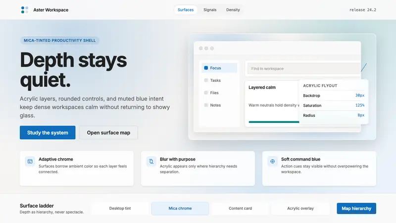 Microsoft Fluent 2Disciplined translucency. Warm Mica neutrals, acrylic blur, and muted blue create calm depth.
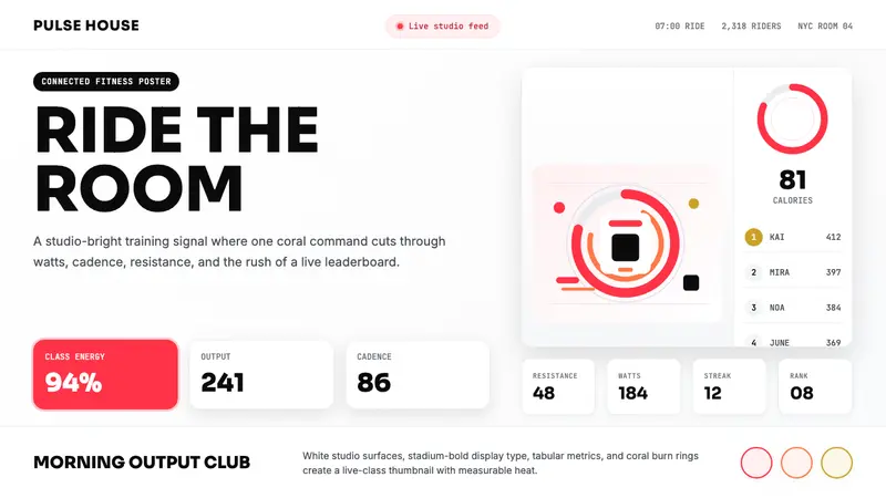 Peloton Fitness Coral (2020)Studio-bright urgency. Coral rings, Sora caps, and leaderboard grids drive the heat.
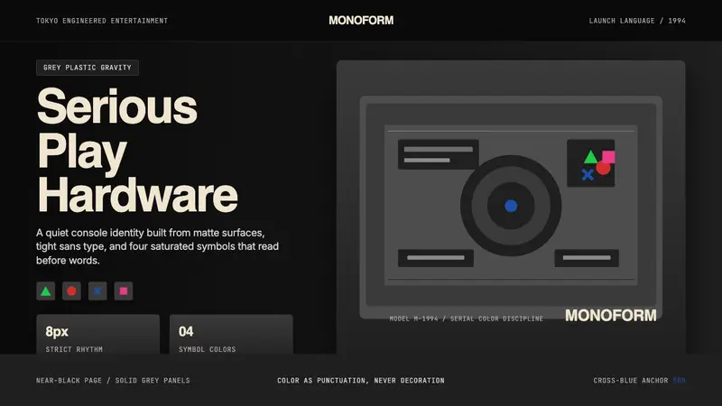 PlayStation (1994 Original)Quiet power, engineered. Grey plastic and four saturated symbols punctuate tight sans type.
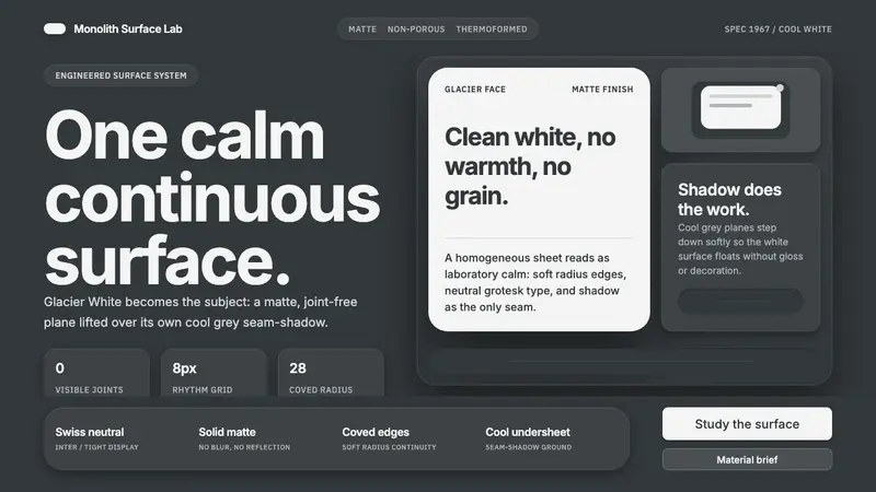 Corian Solid SurfaceSeamless matte calm. Glacier White floats over cool grey shadow with neutral Inter type.