About Climbing Topo Guide
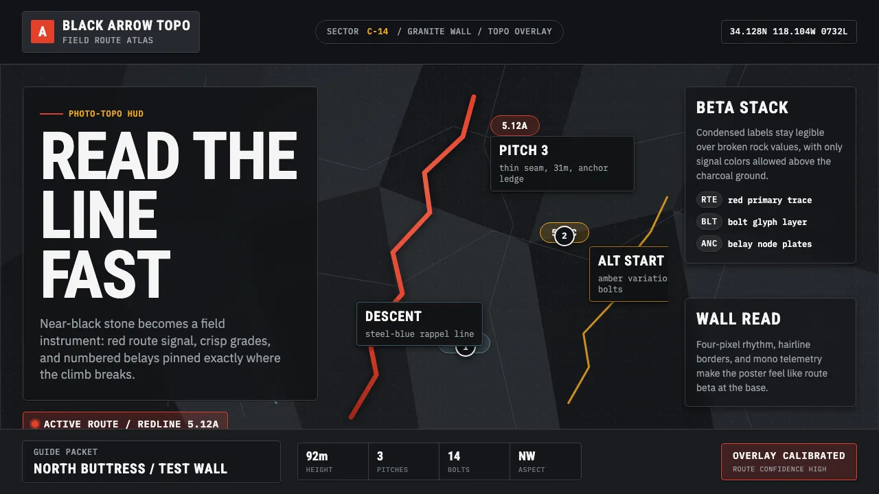
Climbing Topo Guide is the outdoor-technical dialect that platforms like Mountain Project, theCrag, and Rakkup built after 2010, when route beta migrated from inked guidebooks to photographic photo-topos. A real crag wall — desaturated to near-black charcoal stone — becomes the canvas, and a bright red route line traces the line of weakness up it.
Everything else is a precise technical HUD: numbered pitches, grade badges, bolt and anchor glyphs, and crisp condensed-sans labels that read like instrument telemetry against the rock. Nothing decorative survives — the system is built to be read fast, on a phone, at the base of a climb.
- Origin
- North America (and global outdoor climbing)
- Era
- 2010–now
- Key figures
- Mountain Project · theCrag · Rakkup
- Movements
- Digital photo-topo route guides · Outdoor-technical interface design
Climbing Topo Guide design spec
Colors
Typography
The other 11 sections — buttons, cards, spacing, motion, techniques and more — open once you unlock. Download the DESIGN.md or send it to your AI in one click. Unlock once, yours forever.
Sign up nowStyles similar to Climbing Topo Guide
Also inspired by brands & products, with a close feel.
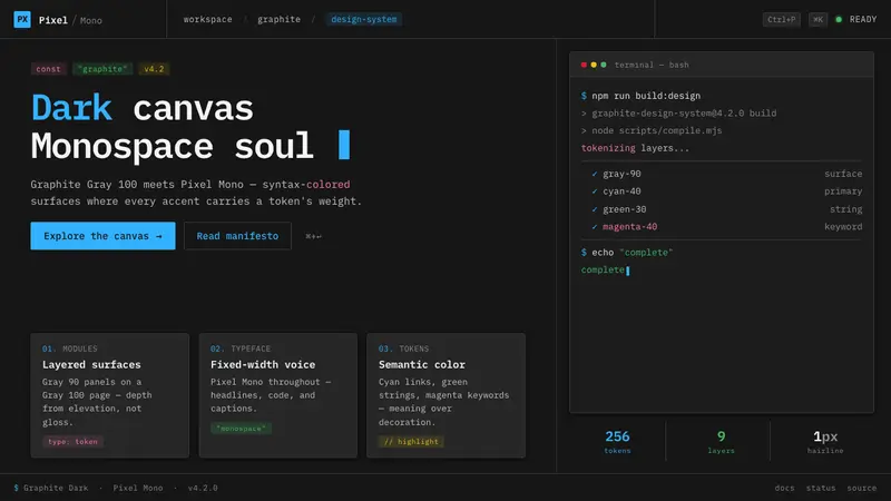 IBM Plex Mono DevColor used like syntax highlighting. Carbon Gray 100 canvas, IBM Plex Mono throughout, cyan accents.
 Deno Runtime-GreenWarm precision on black. Saturated green, Inter, and mono code turn security into the hero.
 GrafanaData first, chrome last. Orange accent cuts through dense dark panels and semantic charts.
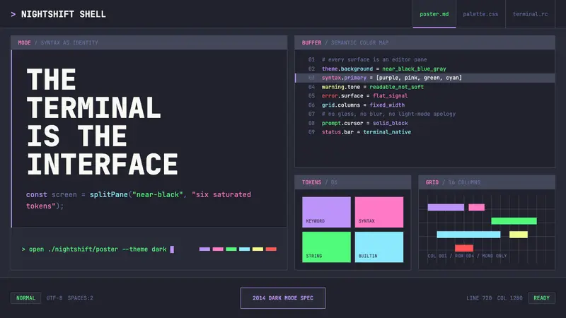 Terminal Vim Dracula (2014)Terminal-native darkness. Near-black panes carry six saturated syntax colors in mono grid.