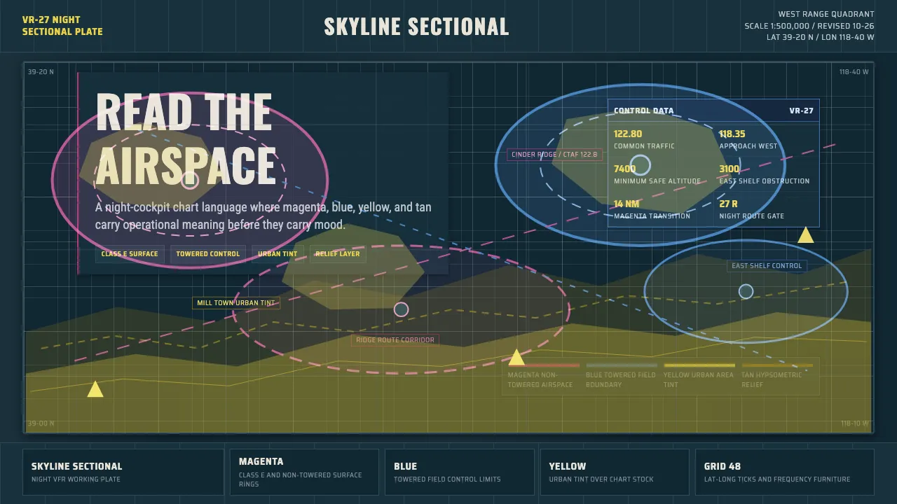
About Aeronautical Chart
The Aeronautical Chart theme is built from the FAA VFR sectional — the dense, color-coded paper map pilots fly with on visual navigation. Magenta and blue airspace rings, yellow city tints, and tan hypsometric terrain crowd an aged dark sheet, every feature labeled in condensed grotesque ink.
Nothing here is decorative. Each color is a defined code: magenta for non-towered and Class E surface airspace, blue for towered fields, yellow for urban area, tan for relief. The grid, the lat/long ticks, and the frequency boxes are functional furniture. Read it like a cockpit display at night, not a poster.
- Origin
- North America (United States, FAA / NACO charting)
- Era
- 1950–1990 (modern VFR sectional charting conventions)
- Key figures
- FAA Aeronautical Information Services
- Movements
- Mid-century technical cartography · Aeronautical information design
Aeronautical Chart design spec
Colors
Typography
The other 11 sections — buttons, cards, spacing, motion, techniques and more — open once you unlock. Download the DESIGN.md or send it to your AI in one click. Unlock once, yours forever.
Sign up nowStyles similar to Aeronautical Chart
Also inspired by brands & products, with a close feel.
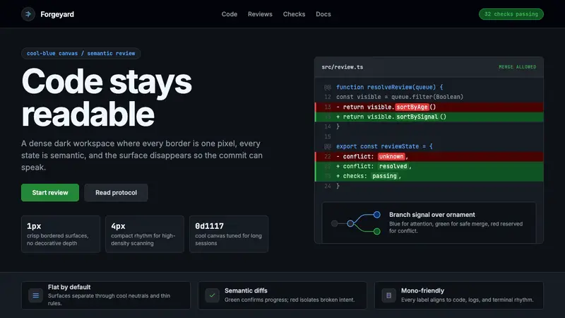 GitHub DarkCode-first darkness. Cool-blue canvas, 1px borders, green/red diff lines.
 Mastodon Fediverse Elephant (2017)Federation feels friendly. Violet dark cards and monospace domains stack like a midnight feed.
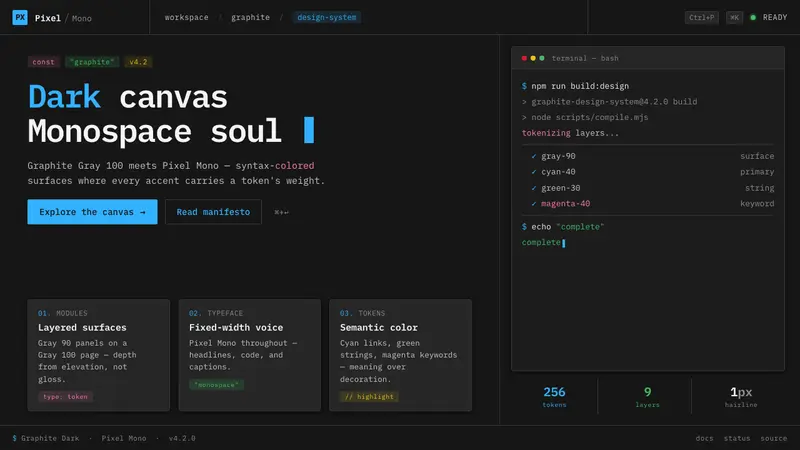 IBM Plex Mono DevColor used like syntax highlighting. Carbon Gray 100 canvas, IBM Plex Mono throughout, cyan accents.
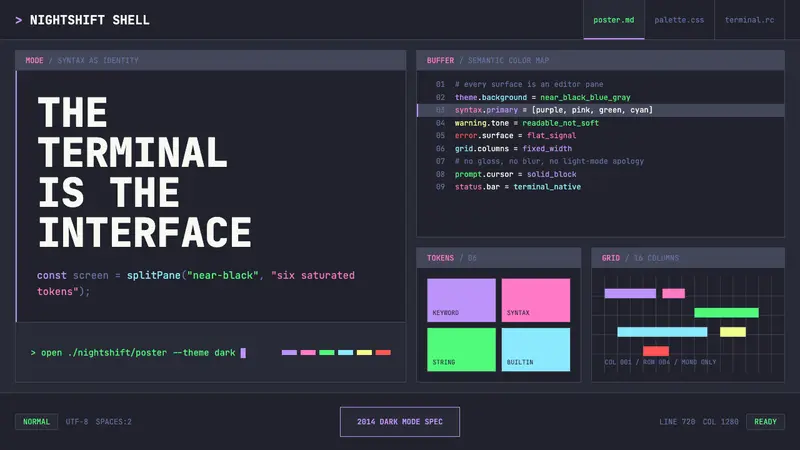 Terminal Vim Dracula (2014)Terminal-native darkness. Near-black panes carry six saturated syntax colors in mono grid.