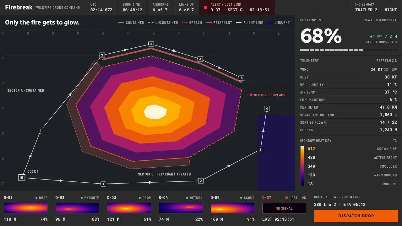
About Wildfire Drone Command
Wildfire Drone Command is the screen inside a mobile incident trailer at 2 a.m.: a dark operational basemap, an infrared feed rendered in FLIR's Ironbow ramp, and drone flight lines drawn over a perimeter that is still moving. Wind, humidity and tank volume run down a docked telemetry rail.
Nothing here is dark for atmosphere. Infrared starts at black, and a night crew cannot afford a display that wrecks their dark adaptation. The heat scale is data with a legend, so orange appears only where something is actually burning.
- Origin
- Western United States, Australia and the Mediterranean
- Era
- 2015–present thermal drone operations; projected to a 2040 of routine autonomous aerial suppression
- Key figures
- FLIR · Drone Amplified · FlytBase · Phos-Chek
- Movements
- Incident command system graphics · Thermal-imaging palette convention · Dark-canvas operational cartography
Wildfire Drone Command design spec
Colors
Typography
The other 11 sections — buttons, cards, spacing, motion, techniques and more — open once you unlock. Download the DESIGN.md or send it to your AI in one click. Unlock once, yours forever.
Sign up nowStyles similar to Wildfire Drone Command
Also inspired by science & nature, with a close feel.
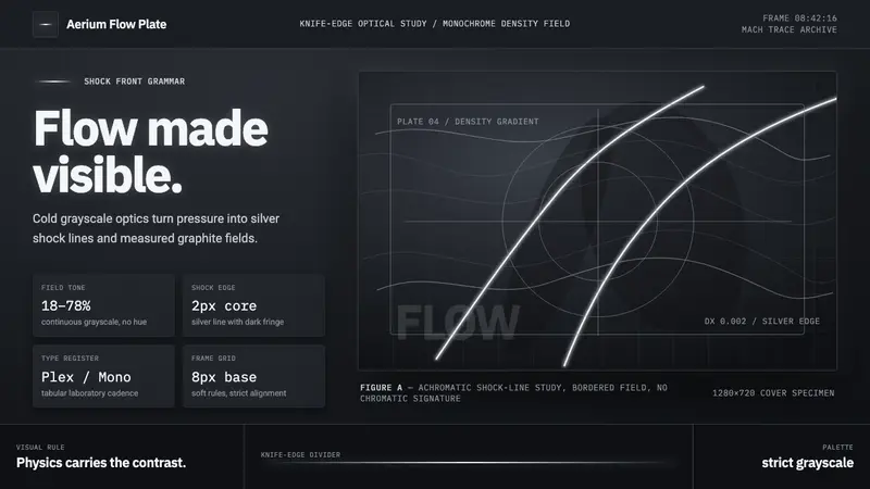 Schlieren ShadowgraphInvisible air becomes silver. Cool grayscale fields cut by precise shock lines.
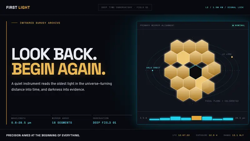 James Webb Telescope (2022)Precision meets deep time. Mirror gold hexagons and cyan telemetry glow across a black void.
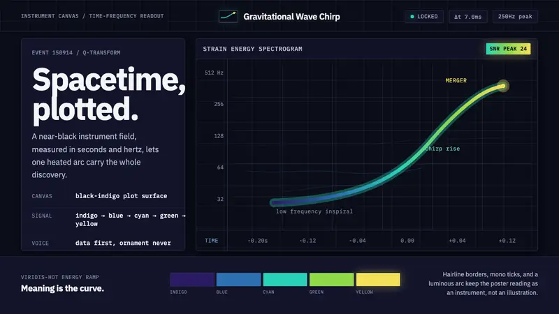 Gravitational Wave ChirpData makes the drama. Near-black grid, mono Hz ticks, and a viridis-hot chirp arc.
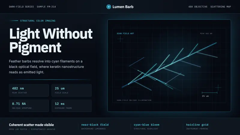 Feather MicroscopyPhysics glows in the dark. Cyan filaments and mono scale bars cut a black imaging field.